Domestic Left #54: Free state
Where I seldom heard a discouraging word
My second semester of college, I roomed with S, who grew up in Maine. His best friend D, like me, had grown up in Kansas, and the three of us would often have arguments about the relative merits of our home states. S would argue natural beauty; D and I would respond: but Kansas has no tourists.
But the truth is that Kansas has plenty of natural beauty (which is, as a bonus, largely unspoiled by tourists). So a year ago, inspired by my lockdown-inspired rediscovery of hiking, and a high school friend’s Instagram posts of his travels to Kansas state parks, I set out to visit (and revisit) some of it myself.
I had to attend a weekend event in Chicago for work; Chicago is just a seven-hour drive from Pittsburgh and I hate flying, so I decided I would drive there and then just keep going west. While I would drive to the Sunflower State on the usual route of I-80 to I-35, I determined that I would avoid the interstates while there. I reviewed the 28 state parks, only two of which I had ever been to before, and located the world’s largest ball of twine. I made a map and reservations for places to sleep each night but otherwise no real plans beyond leisurely tooling around and seeing what there was to see.
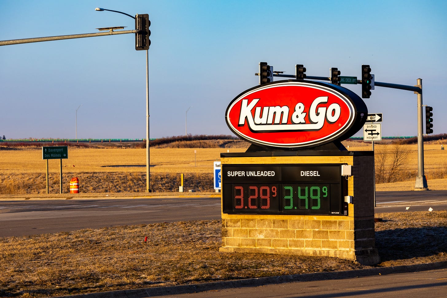
The most direct drive from Chicago to Kansas City takes about seven and a half hours, but I also wanted to pay a visit to Iowa, where I lived for the first half of my twenties. After a good night’s sleep at the delightfully off-brand Super 7 Motel in Coralville, where I was vaguely worried that every time I stepped into or out of my room I was going to end up being John Wayne for 15 minutes, I headed down I-80 for pre-dawn coffee in Grinnell, where I spent my junior and senior year of college. After gassing up at the beloved Iowa convenience store chain Kum & Go, I headed off for Kansas in the glorious golden sun of a midwestern Monday morning.
After crossing the state line in Kansas City, I headed westward on Kansas highway K-10, which was more in keeping with the letter than the spirit of my plan to avoid interstates — K-10 is a divided, limited-access four-lane highway that, in driving experience, is largely indistinguishable from I-70, which it runs parallel to between KC and Lawrence.
K-10 used to end unceremoniously on the eastern end of Lawrence’s 23rd street, but now it swings south, becoming the South Lawrence Trafficway, bypassing the town entirely, and going all the way to Clinton State Park. Once there I spent a lovely afternoon hiking for six miles along the edge of Clinton Lake.
Clinton Lake is a reservoir created in the late 70s by an Army Corps of Engineers dam on the Wakarusa River. I have a vivid memory of my father taking me (and perhaps my sister) out to see one of the towns being slowly flooded as the lake filled in. Apparently in some places you can still see the tops of some of the trees that were submerged back then — at least that’s the only explanation I could come up with for some of the bits of wood sticking out of the middle of the lake in various places.
It was a fine early-spring afternoon, the trees still bare but the air devoid of chill, and I mostly had the place to myself.
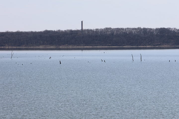
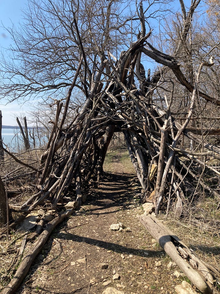
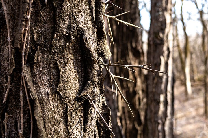
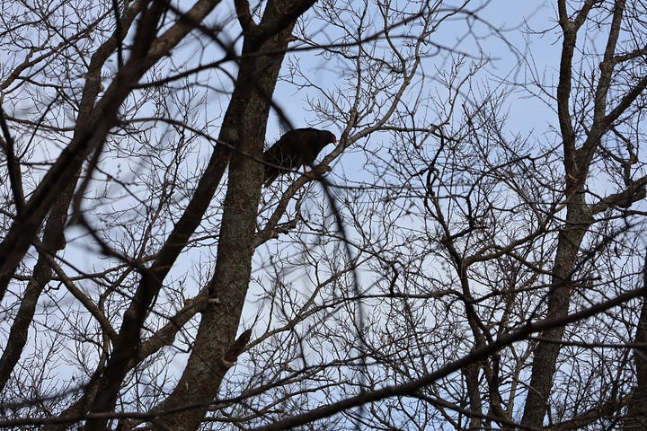
Clinton Lake — both the state park that runs along the reservoir’s shoreline and the dam itself, which you can not only drive across but park and walk on — was a frequent destination in my high school years, a place just a few miles outside of town where teenagers could hang out without direct parental supervision. Not that we got up to anything illegal out there, it just somehow felt easier to talk about the dreams and fears of coming adulthood where only the hawks and fireflies could hear you.
Downstream of where Clinton Dam was built in the 1970s, in the wetlands of the Wakarusa, Haskell Indian School was established by the U.S. government in 1884. One of the most notorious of the residential schools where young Native Americans were taken from their families and forcibly assimilated into white culture, it was built on the wetlands because that was land that white farmers didn’t want. The wetlands provided a refuge for students who ran away from the school, but not always a very hospitable one; many died there, as many died at the school.
In the 2010s, when the South Lawrence Trafficway was being built, students at what has now become Haskell Indian Nations University protested the destruction of these wetlands to make way for the road, but to no avail. I knew nothing of this as I drove across it.
After the hike at Clinton Lake, I drove U.S. 40 to Topeka and stayed at a hotel just outside of downtown, close enough that I could walk to Iron Rail Brewery for dinner and a few beers that night and to the state capitol the next morning to see John Steuart Curry’s John Brown mural. (I wrote about my visit to the capitol last year.)
I headed west from Topeka on U.S. 24, one of the original numbered U.S. highways established in 1926; it runs from southeast Michigan, through Fort Wayne, Peoria and Kansas City, then across Kansas north of, and parallel to, I-70. Leaving Topeka, flanked on either side by massive grain elevators, it is a four-lane divided highway, but somehow flatter to the land than the interstate.
My first stop on 24 was Wamego, a town I visited as a teenager more often than you’d think. At the time they had a huge (and hugely awesome) cowboy clothing store downtown, where I bought a rope belt that I was still wearing in 2015, and which gave me an enduring fondness for rope belts.
While the cowboy clothing store is gone, Wamego does still boast its famous Dutch Mill, originally built in 1879 by a Dutch immigrant and used to grind grain, then moved to City Park by horse and wagon in 1925. My friend P and I (and sometimes other friends) would often hang out in the park and talk wistfully about simpler times, already bemoaning the onward march of technology back in the 1980s.
What I had come to Wamego for, however, was a bierock.
The bierock is a bread filled with a savory stuffing, somewhat like a calzone or empanada. It was brought to Kansas by the Volga Germans — ethnic Germans enticed to settle in the Volga region of Russian by Catherine the Great in the 18th century with offers of special treatment (such as exemption from military service), who then left in the 19th century as that special treatment was revoked and Russia began an aggressive program of “Russification.” A good number of them settled in Kansas.
A traditional bierock is filled with beef and cabbage, and served with a horseradish sauce. I procured one at a cafe called Friendship House and ate it in City Park. It was a beautiful, sunny spring Kansas day, and the bierock was delicious. After I finished it, I wandered around City Park, paying a visit to the Dutch Mill, then gassed up at a filling station that probably dated back to the early days of automobile travel and headed west.
A few miles down the road, as I entered Manhattan, Kansas (home of Kansas State University), I saw the original (and now only remaining) Vista Drive-In. Vista is a fast-food restaurant founded in 1964 in Manhattan; by the late 80s they had six restaurants around the state, including one in Lawrence, just a few blocks from the house I lived in until I was 11. They had the usual fare of burgers, fries, and shakes, but also Iowa-style pork tenderloins (a favorite of my mother’s, as I remember), corn dogs, excellent onion rings, and soft-serve ice cream treats to rival Dairy Queen — including a version of the “blizzard” (chunks of candy whirled into soft-serve) called, naturally, a “cyclone,” in homage to Kansas’s iconic tornadoes.
On a whim, I made the somewhat treacherous and sudden left turn off of 24 and stopped in for a small order of onion rings. They were as good as I remember, and, like Proust’s madeleine, the smell emanating from the grill/fry area instantly took me back to my “gap year,” when I got my first ever paying job at the Lawrence Vista. Over my nine months or so of employment there, I worked pretty much every station of the grease, but as a sort of mid-level employee between the proper adults who assistant-managed and the high school students who drifted in and out of employment, I was most frequently assigned the fryers, bringing those corn dogs and onion rings and pork tenderloins to a perfect golden brown deliciousness.
One of Vista’s claims to fame, back in the day (and perhaps still, though I can’t find any mention of this on their current website), was that they used 100 percent Kansas beef for their “Vistaburgers” (which were pretty tasty). My only remaining memento of my time at Vista, which I still wear on my kitchen apron to this day, is a button proclaiming “Savor Food from the Land of Kansas.” OG localvore.
West of Manhattan, U.S. 24 narrows down to a regular old two-lane highway, rail-straight from above but undulating over the soft slopes of the Flint Hills and then the Smoky Hills. It was a perfect Kansas day, the big sky deep blue and decorated with small white clouds, redtail hawks circling above the highway. I had on Dvořák’s New World Symphony, composed in 1893, while he was living in New York City and directing the National Conservatory of Music of America.
Dvořák was Czech, and his use of folk melodies in his compositions reflected a kind of 19th century Romantic nationalism — a nationalism, for the most part, of people who lived under the thumb of empires like the Austro-Hungarian one that ruled much of central Europe, and for whom the (as-yet-untested) idea of an ethnic nation-state seemed progressive. He spent three years in the United States, hoping to discover an “American music,” and concluded that any music worthy of that name would have to be based on Native and African-American music.
I don’t believe Dvořák ever came to Kansas, but he did spend a summer in Spillville, Iowa, a small town where Czech was the predominant language. Although he completed the New World before his summer in the Midwest, it was hard not to hear the land I was driving through in the music as I listened.
The world’s largest ball of twine (well, technically, the world’s largest ball of sisal twine) can be found under a pavilion in the town of Cawker City, Kansas. The “city” in the town’s name is (or perhaps once was) more aspirational than descriptive — it consists of little more than a couple dozen square blocks, and its population is under 500.
They are presumably used to people in foreign-made cars with out-of-state plates rolling up, parking, walking across the street and gawking at the ball of twine for ten or fifteen minutes, then driving off, but it still felt odd to do so. The ball is not instagrammable enough (or close enough to anywhere Instagram users might be) to have made it worth anyone’s while to establish an Instagram-friendly coffee shop in town. I thought about leaving my pride and stepping inside the dive bar across the street, but I was trying to be good.
The ball was started by 62-year-old farmer Frank Stoeber in 1953 as a way to collect all the bits of used twine laying about in his barn, an alternative to sweeping it out, gathering it together, and burning it. Once word got out about the growing ball of twine in his barn, neighbors began bringing their twine scraps by, and in 1961 he hauled it into town for some kind of festivity, where it has remained ever since.
Although the Guinness Book of World Records certified it as the world’s largest ball of twine in 1973, a year before Stoeber died, that title was taken away in 1978 when a ball in Minnesota surpassed it. Unwilling to lose their title, the good people of Cawker City began adding twine to the ball, a tradition that continues to this day with an annual twine-a-thon. It is now over 27,000 pounds.
Standing in front of it, I felt the same sense of existential gravity that I feel when I am around a Richard Serra sculpture — like its size and mass is bending some kind of spiritual and emotional space-time continuum towards itself. The object is not saying anything to you, it just is, and its very is-ness pulls all the heaviness in the world towards it, leaving you free. As Serra once said about his art, “The whole subject-object relationship is reversed. The content is you!”
Cawker City marked the most northwesterly point of my journey through Kansas; after leaving the ball of twine I headed south on U.S. 281 towards Lucas, home of the Garden of Eden.
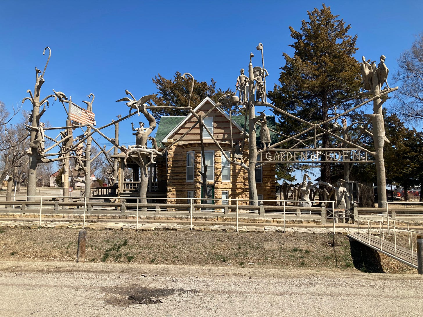
The Garden of Eden was built by S.P. Dinsmoor, a teacher-turned-farmer who, in the early 20th century, began augmenting his log cabin in Lucas with freehand sculptures made of concrete. They grew to fill his entire corner lot, a series of concrete poles along the property line connecting to each other with branches sprouting biblical and political parables. In one corner, he built a mausoleum where he and his first wife are interred (the tour includes, per his wishes, a visit to see his body); he also built a small face smiling and waving into the window of the basement kitchen, to amuse or perhaps creep out his wife as she slaved away at domestic labors.
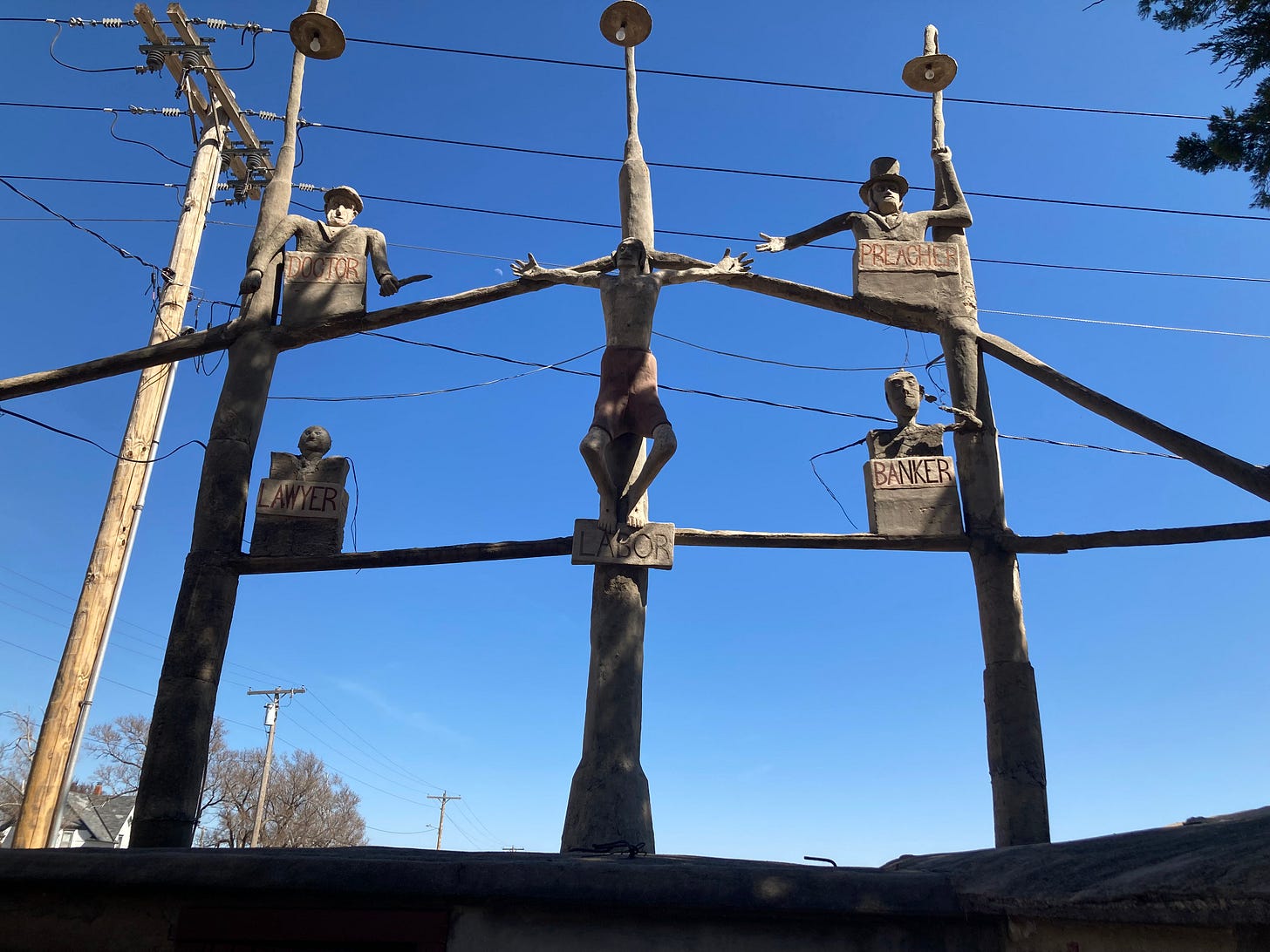
But the highlight of his statuary is Labor Crucified, showing a Christ-like worker being tortured by a Banker, a Preacher, a Doctor and a Lawyer. The more things change...
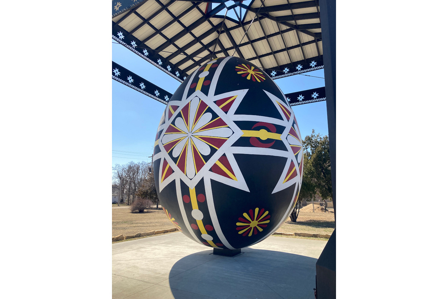
The world’s largest Czech egg, located in Wilson, Kansas, 20 miles south of Lucas, is really, truly, terrifyingly large — 20 feet tall and 15 feet wide. Unlike the ball of twine, or the Garden of Eden, which began as the whims of eccentrics, made by hand, the giant egg was commissioned by the Wilson Chamber of Congress in the 2010s to celebrate the town’s Czech heritage (and, a couple of decades late, the fall of communism in Czechoslovakia) with a giant fiberglass replica of the Czech folk tradition of painting eggs to exchange at Easter.
In 1995, University of Kansas geography professor James “Pete” Shortridge, who lived near my parents and I believe was friendly with them, published Peopling the Plains: Who Settled Where in Frontier Kansas. I have never read the book, but somewhere along the line absorbed its findings (possibly from hearing him talk about his research either formally or informally): that different immigrant groups from various parts of Europe — protestant Germans, catholic Germans, Volga Germans, Czechs, Swedes, French Huguenots and so forth — settled in distinct areas of the state, forming a kind of patchwork of language, religion and custom that in many cases (except perhaps language) survives to this day, in places like Wilson and, presumably, Spillville, Iowa.
Indeed, one of the most striking maps that I have ever seen (though which I cannot seem to track down), is a county-by-county map of the U.S., color-coded based on which religious denomination had the largest number of adherents in that county. Most of the country was solid blue (Catholics, who unsurprisingly outnumber any specific Protestant denomination in most places), with large swaths of red (Southern Baptists) across the rural areas of the South, pale green (Lutherans) across the rural areas of Minnesota and the Dakotas, and orange I think (Mormons) across most or all of Utah. Kansas, however, was a riotous patchwork of color: one of the few places where Methodists, Presbyterians, and other denominations could claim the plurality, but only in the one county.
It is hardly surprising that Czechs would settle next to other Czechs, but if my hazy memory of the larger historiography from my years is grad school serves, this understanding of U.S. immigration was relatively new to the historical profession in the 80s and 90s. Nineteenth-century immigration to Kansas, and to the U.S. more broadly, was not an undifferentiated wave of huddled masses yearning to breathe free, but a multitude of streams of people trying to find a new life, sometimes figuring out a way to eke a living out of plains or mines or mills, and sometimes not. A remarkably high percentage of the 19th-century European immigrants celebrated in our national mythology decided that American “freedom” and “opportunity” was more than they had bargained for, and went home.
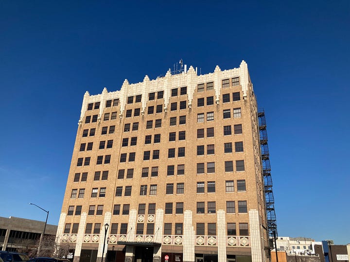
I stayed in Salina (which has some fantastic art deco architecture downtown) on Tuesday night, and drove out the next morning for some dawn photography at Mushroom Rock State Park. I tend to get up early to begin with, and like to keep my body’s circadian rhythms on Eastern Time even when I travel west; the hours before dawn, before anyone who doesn’t have to be working is awake, much less out in the world, is probably my favorite time of day — and the light just before and after the sun comes up is fantastic for photography.
Mushroom Rock State Park, at five acres, is Kansas’s smallest state park. It was carved out of a farmer’s fields to preserve a handful of strange rock formations, huge egg-like rocks balanced on narrow columns, on either side of a dirt road 25 miles west-southwest of Salina.


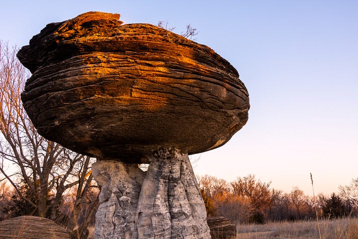
South of Mushroom Rock lies the much larger Kanopolis State Park, the first one established in the state. Kanopolis shows off the Smoky Hills, which are more lonesome and rugged than the more well-known Flint Hills to the east. I hiked Horse Thief Trail, two miles or so that go up and around a canyon system that, well, seems like it would indeed be a good place to hide stolen horses. I never imagined that my fear of heights would be a problem on a hike in Kansas, but there were definitely moments I felt nervous. The sandstone was soft enough that lovers could carve their names in it.
South of Kanopolis I drove up Coronado Heights, reputedly the northernmost point that Coronado got on his quest for gold. (Spanish chain mail has in fact been found at an archeological dig near the heights.) In the 1930s the Works Progress Administration built a weird little castle structure at the top. It was a fine and clear day, and from the southernmost and most prominent butte in the Smoky Hills I gazed out to where a road called 12th Avenue snaked down the hill, crossed the line from Saline County into McPherson County, and shot straight south between fields already green with spring.
My last natural-beauty stop on this trip was the Tallgrass Prairie National Preserve in the Flint Hills, on the way from Wichita up to Lawrence. I broke my no-interstate rule on this leg of the trip — I drove south from Coronado Heights to Wichita along two-lane roads, but they mostly paralleled I-135, often close enough to see it, and passed through a series of small and uncharming quasi-industrial towns: McPherson, Hesston, Newton. It wasn’t worth the slow-going.
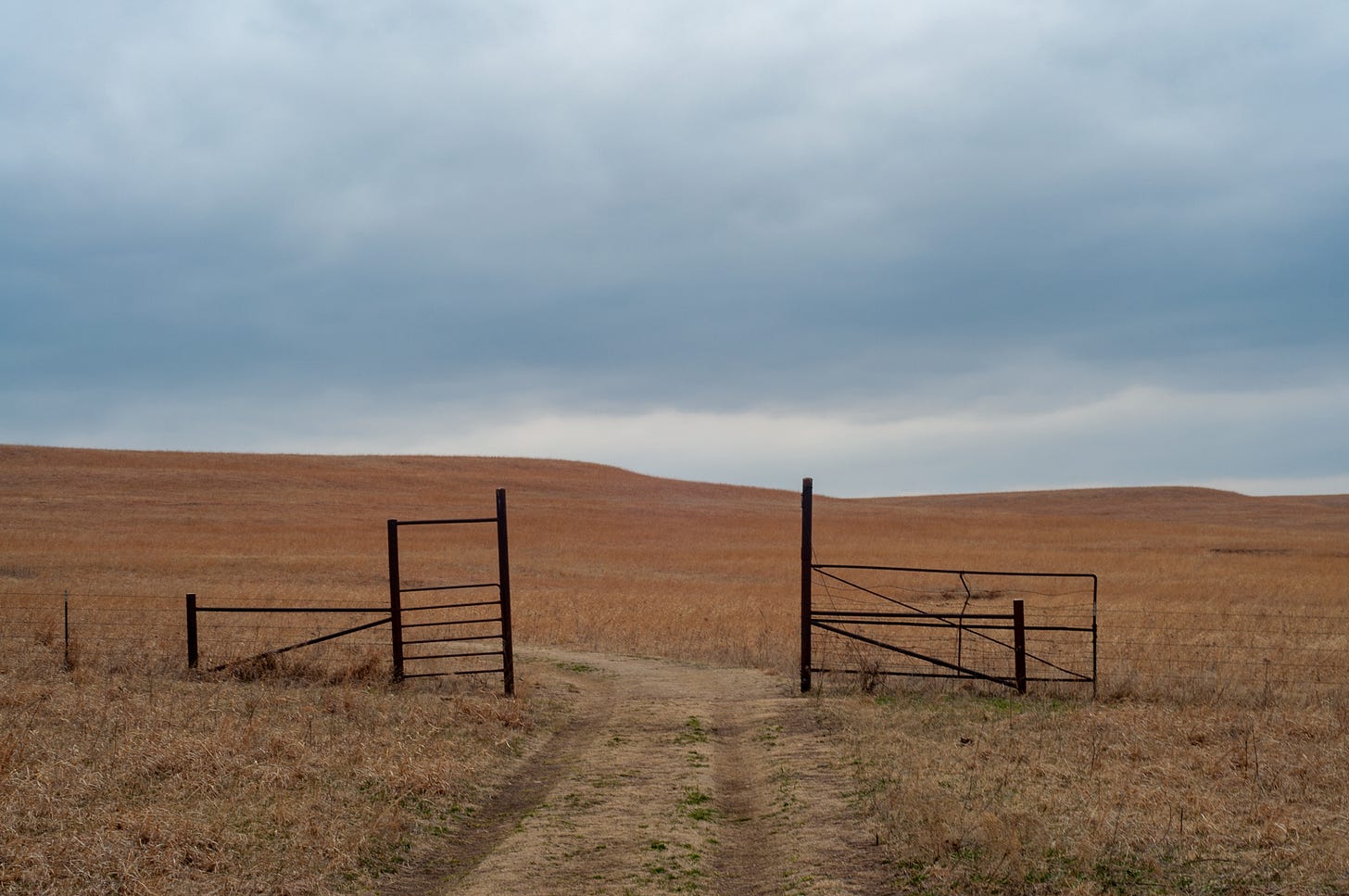
The Tallgrass Prairie National Preserve is an 11,000-acre nature preserve just north of Cottonwood Falls, privately owned by The Nature Conservancy and co-managed with the National Park Service.1 The soft hills are covered by a variety of grasses and wildflowers, and for the last fifteen years it has been home to a herd of bison that has now grown to over 100 animals. They are restricted to one (very large) fenced-in area, the gates of which warn you to stay at least 100 yards from them. I was sad that I failed to bring my zoom lens.
I tramped around the preserve for over an hour, covering about three and a half miles. I saw a handful of other people walking through the preserve, but they were too far away to make out much about them. I thought about how far the tallgrass prairie stretched just two centuries ago, how the lifetime of our fences and roads has been such a small slice of the prairie’s lifetime, though perhaps it will be the final one. I thought about how from 100 to 66 million years ago Kansas was covered by water, a seaway that ran from the Gulf of Mexico to the Arctic Ocean and laid down the sandstone of Horse Thief Canyon and the cemented calcium carbonate of Mushroom Rock. The grasses were reddish-gold, the sky cloudy but still somehow blue.
I listened to an usually diverse2 selection of music on this vacation: classical, new wave, classic rock, jazz. I had just discovered the Kronos Quartet album Folk Songs and the Aurora Orchestra album Road Trip (which seemed apropos). Planning for this trip, and the nostalgia that it occasioned, prompted me to make a Spotify version of a mixtape left in my car’s tape deck by one of my high school girlfriend’s friends. The unlabelled cassette became known to my friends and I as “Kari’s Good Vibes Tape,” and it introduced us to Love and Rockets, Siouxsie & the Banshees, and the Jesus and Mary Chain.
And of course, I had to listen to The Best of Kansas.
After I got home, I put together a playlist to try to recreate the experience:
Roadside America has a more in-depth history of the world’s largest ball of twine.
The sculptor Richard Serra died this past week, though that is not why he is mentioned in this newsletter — I wrote down the similarities between his work and the world’s largest ball of twine last year in my travel journal. Guardian art critic Adrian Searle wrote a nice appreciation of his work last Wednesday.
In a classic bit of Kansas right-wing nuttiness, the bill that created the preserve, at the insistence of our Republican Senator Nancy Kassebaum, stipulated that the land could not be owned by the federal government because, you know, that would be socialism. The original private “partner” went bankrupt in 2004, leading to fears that the private land would simply be sold for agricultural development, destroying the largest preserved tract of tallgrass prairie in the world. Fortunately the Nature Conservancy stepped in and purchased the land.
Compared to what I usually listen to while driving. I listen to a wide variety of music at home and at work, but generally tend to listen to familiar music with a beat — alt-country, classic rock, or 80s hits — while driving. Though on my first visit to Coronado Heights in high school, during which I spun my parents’ boxy brown 1984 Toyota Camry out on the dirt roads and nearly landed it in the ditch, I was blasting a cassette tape of Beethoven’s 9th Symphony, the Ode to Joy.


